If you’re reading this, you’re likely preparing to visit the Santa Cruz Memorial Forest. In this post, we’ll explain how to get to the forest and share our local recommendations.
Please save these directions before heading to the forest as cell phone service may be unreliable.
Forest Address
Buzzard Lagoon Rd, Los Gatos, CA 95033
Most people use Google Maps to get to the forest. Below is the link to the exact forest location.
Better Place Forests Santa Cruz (Google Maps)
Directions from Downtown Santa Cruz (Highway 1 South)
This is the preferred route to the forest.
- From CA-1 South, take exit 433A for Freedom Blvd and turn left onto Freedom Blvd.
- After 2.7 miles, bear left onto Hames Rd.
- After a half mile, turn right onto Pleasant Valley Rd.
- After about 300ft, turn left onto Hames Rd.
- After 1.5 miles, turn left onto Eureka Canyon Rd (Note: you will be at an intersection with the Corralitos Market on your right) and follow Eureka Canyon Rd for about 9 miles
- Do not turn onto Rider Road at any point, continue up Eureka Canyon Road until you reach the northern side of Buzzard Lagoon Road
- Turn left onto Buzzard Lagoon Road and follow Buzzard Lagoon Road for about half a mile
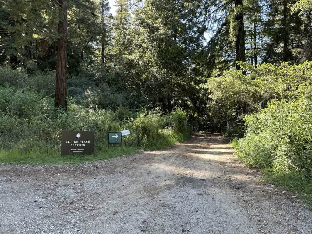
- Turn right at the large “Better Place Forests” sign that marks the entrance to our forest. The road leading to our forest is firmly packed gravel — it’s a bit bumpy, but sedans should be fine.
Directions from the Bay Area (Highway 17 South)
- From CA-17 South, take the Summit Road exit and make a sharp right at the stop sign onto Summit Road. You will cross over CA-17 and immediately come to a stop sign.
- At this stop sign, you must turn Left onto Summit Road. If you turned right, it would put you right back on Highway 17 North.
- During the course of this 6 miles you will pass the Loma Prieta School, Burrell School Winery, Summit Store, Soquel-San Jose Road and the Fire Station. When you see Radonich Ranch on your right, you are almost to the stop sign.
- You’ll come to a small intersection with Mt. Bache Rd (see image below). At the stop sign, bear right to stay on Highland Way.
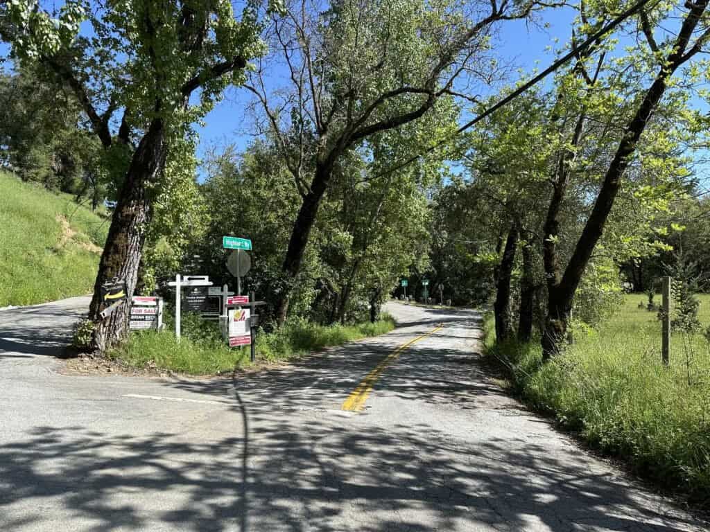
Right turn on Highland Way to get to Better Place Forests Santa Cruz
- About 100 feet later, keep left to stay on Highland Way when it intersects with Spanish Ranch Road (see photo below).
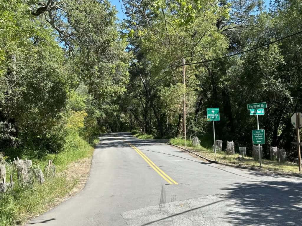
At the intersection with Spanish Ranch Rd, keep left to stay on Highland Way to get to Better Place Forests Santa Cruz
- Follow Highland Way for about 6 miles. You know you’re getting close to our forest when you pass Soquel Demonstration Trailhead and see the sign for Camp Loma on your right. Our forest is about 10 minutes from this camp.
- Turn right onto Buzzard Lagoon Road and follow Buzzard Lagoon Road for about half a mile. Turn right at the large “Better Place Forests” sign that marks the entrance to our forest. The road leading to our forest is firmly packed gravel — it’s a bit bumpy, but sedans should be fine.
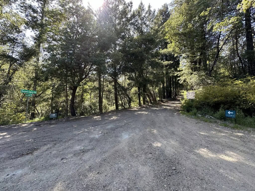
Turn Onto Buzzard Lagoon (from Hwy 17) to Better Place Forests Santa Cruz
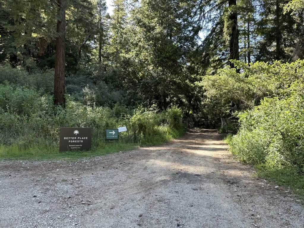
Entrance to Better Place Forests Santa Cruz
Important Tips
- Our forest is located in the heart of the Santa Cruz mountains — it’s incredibly peaceful, but cell phone service can be unreliable.
- We recommend wearing sneakers or hiking boots.
- Please save these directions as service on the way to the forest may be unreliable.
Contact Information
If you have questions leading up to your tour, you can reach our team at:
Phone Number: 831-531-7810
Email Address: santa.cruz@betterplaceforests.org
We look forward to seeing you in the forest soon!
All forest visits require a reservation. If you haven’t made one yet, please reach out to our support team to schedule yours today.
Helpful Links
Things to Do and Places to Stay in Santa Cruz
Your Upcoming Nature Memorial Ceremony in Santa Cruz