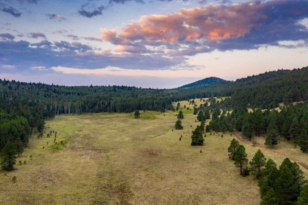
If you’re reading this, you’re likely preparing to visit the Flagstaff Memorial Forest. In this post, we’ll explain how to get to the forest and share our local recommendations.
Please save these directions before heading to the forest as cell phone service may be unreliable.
Forest Address
18218 N Hart Prairie Rd, Flagstaff, AZ 86001
Most people use Google Maps to get to the forest. Below is the link to the exact forest location.
Better Place Forests Flagstaff (Google Maps)
Directions from Phoenix and Tucson
- Take I-17 north towards Flagstaff
- Drive for approx 140 miles
- I-17 will turn into Milton Road/Rte 66 when it reaches Flagstaff, continue on Milton Rd/Rte 66
- Turn left at the traffic light onto N Humphreys St.
- Turn left at the traffic light onto Ft. Valley Rd/US HWY 180 (follow signs for Grand Canyon and Snowbowl)
- Stay on HWY 180 for approx 18.7 miles (visitors will pass Snowbowl Ski area on their right and keep traveling)
- *Turn right (just after mile marker 235) onto FR 151 Hart Prairie Rd (this will turn to a dirt road)
- Continue approx 3 miles on the dirt road, FR 151. Any time there is a split or an intersection, stay to the RIGHT. Note that there will be poorly marked splits for FR 418 and 418B – stay to the right to stay on FR 151. You reach the driveway entrance and BPF gate on the right-hand side of the road.
- At the gate, you will see a large, metal Better Place Forests sign
Please note that you will have to drive approximately 3 miles on a dirt road before your reach the Better Place Forests gate. There is no other way to access the property except a dirt road (FR 151). If you’re driving a small car you may need to drive slowly as the road is maintained by the Forest Service (and is not maintained by Better Place Forests) for recreation and wildfire access. 4WD is not necessary to access Better Place Forests Flagstaff.
*Make sure to note that FR 151 is a loop that accesses HWY 180 twice, once to the south (you will pass this entrance) and then once again to the north (just after mile marker 235) — which is where you should turn right to access Better Place Forests Flagstaff the quickest and easiest.
You can still reach the forest using the southern intersection of FR 151/HWY 180, but you will have to drive 12 miles on the dirt road instead of just 3 and it will take you much longer to arrive at the gate. Also, the section of FR-151 SOUTH of the forest gate is nearly impassable to vehicles without 4 wheel drive due to rocks.
Important Tips
- The forest is incredibly peaceful, but cell phone service can be unreliable.
- We recommend wearing sneakers or hiking boots and bringing a jacket. We have walking sticks, hand-warmers, and umbrellas in case the weather takes a turn for the worse.
- Please save these directions as service on the way to the forest may be unreliable.
- The closest gas station is located about 30 miles from the forest, south of Snowbowl so it’s a good idea to fuel or charge up before heading out of Flagstaff.
- Due to forest service regulations, no sparks are allowed in the forest. This includes BBQs, candles, incense sticks and burning of sage. The fine from the USFS for this is up to $5,000 per instance.
Contact Information
If you have questions leading up to your tour, you can reach our Flagstaff Memorial Forest team directly at:
Phone Number: 928-268-3662
Email Address: flagstaff@betterplaceforests.org
We look forward to seeing you in the forest soon!
All forest visits require a reservation. If you haven’t made one yet, please reach out to our support team to schedule yours today.
Helpful Links
Your Upcoming Nature Memorial Ceremony in Flagstaff
Hotels, Restaurants and Things to Do in Flagstaff